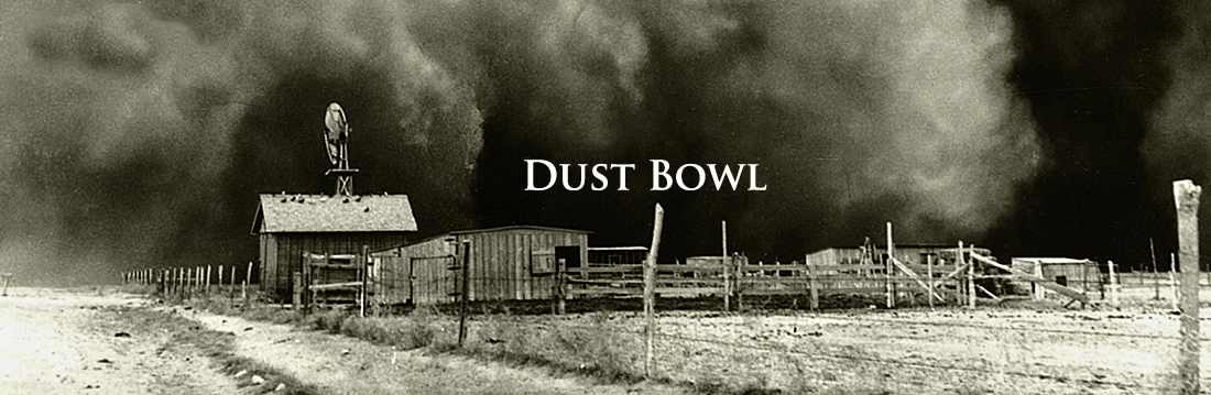
To begin to understand the dust bowl of the 1930s in the Great Plains you need to understand the place. In the exercise below you will be presented with a series of written and visual images of the region and asked to pull these pieces of evidence together to form your own picture of the Great Plains. You will then be asked to gather more traditional geographic information and compare and contrast the images you form using each type of data - achieving in the process a rich place portrait.

The list below includes a variety of perspectives of the Great Plains. As you study each description follow the example given in your Place Portrait worksheet and take notes about the mental images formed by the details of each source . When you are done pull your notes together and write your own brief word portrait of the Great Plains.
The map at right provides a more traditional look at the physical geography of the Great Plains. Layers include:
Average US Rainfall (in/yr)
Mean July Temperature
USA Soil Survey
Length of the Growing Period (days)
Landsat shaded Basemap

Explore the layers in the map. Click on the map for pop-up information. You may want to zoom in for finer detail. And you can change the basemap at any time (The image basemap will be particularly helpful.)
Use these resources and pull together information about the physical geography of the Great Plains that you can attach to your Worksheet. Include information about the physical geography of the region, its landforms, and climate.
Write a brief description of the Great Plains for a friend in which you compare and contrast the image formed in your mind by each type of data - the written and picture descriptions on one hand and the more traditional geographic data on the other.
image from Olson Bros., "Bird's eye view of Antelope, Mont. and surrounding country, 1915, Library of Congress.